(Español, Deutsch, English)

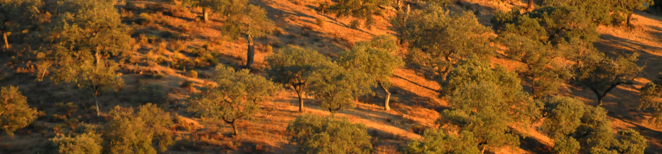
Es el plano de una parte de la Dehesa San Francisco que sufrió un incendio en agosto de 2003. Todos los puntos de colores son árboles que han crecido tras el fuego y que en estos 11 años han recibido nuestros cuidados y protección. A cada uno de estos árboles se le ha puesto una etiqueta de color y se ha señalado en el GPS. El color representa el tipo de trabajo de mantenimiento a realizar a lo largo de este otoño e invierno (poda de formación, colocación de protector, retirada de protector antiguo, etc.). Así se facilita la labor al trabajador forestal. En total más de 12.000 etiquetas puestas, más de 11.000 árboles a podar y 5.600 nuevos protectores a colocar (a los árboles más pequeños). Todo por recuperar la dehesa para las futuras generaciones.

Zoom x5 del rectángulo rojo del plano anterior.
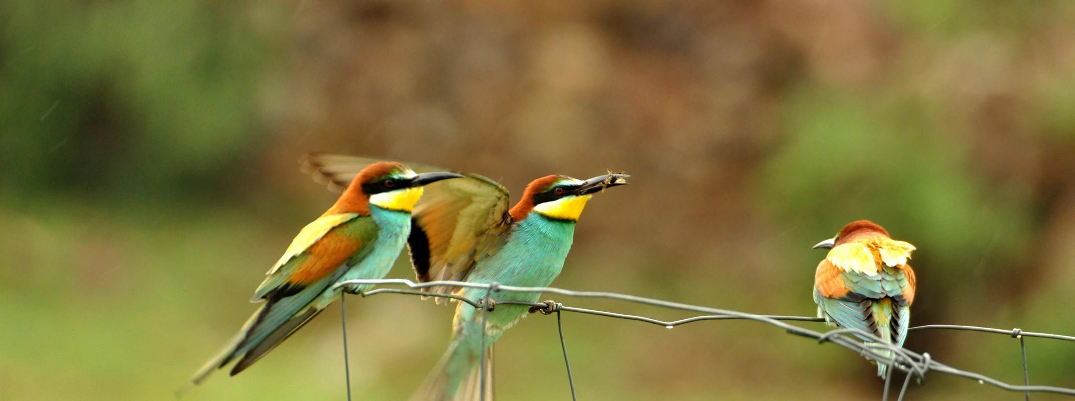
Pronto mostraremos fotos con la marcha de los trabajos.
------------------------------------------------------------------------------------------------------------------------
Weisst Du, was dieser Plan zeigt?
Der Plan zeigt einen Teil der Dehesa San Francisco, wo 2003 der Waldbrand wütete. Jeder Punkt auf dem Plan steht für einen Baum, der in den letzten 11 Jahren nach dem Waldbrand gewachsen ist und der von uns gepflegt und geschützt wurde. Jeder einzelne Baum wurde mit einem Farbband markiert und per GPS eingetragen. Die unterschiedlichen Farben der Markierungen stehen für unterschiedliche Baumpflegemassnahmen, die im Laufe dieses Herbstes/Winters durchgeführt werden (Anbringen von Verbissschutz, Beschneiden, Entfernen von altem Verbissschutz, etc.) Die Anbringung farblicher Markierungen erleichtert den Forstarbeitern die Arbeit. Insgesamt wurden mehr als 12.000 solcher farblicher Markierungen angebracht, mehr als 11.000 Bäume beschnitten und 5.600 neue Verbisschutze an den kleinen Bäumen angebracht. All das dient zur Sicherung der Dehesa für spätere Generationen.
5-fache Vergrösserung des roten Vierecks im vorherigen Plan.
Bald zeigen wir Euch Fotos über die Arbeitsfortschritte.
-----------------------------------------------------------------------------------------------------------------------------------------------------------------------------------
Do you know what this map shows?
The map shows the part of Dehesa San Francisco which suffered from a bushfire in 2003. Each point on the map stands for a tree which has been growing in these last 11 years under our care and protection. Every single tree has been marked with a colored label and marked on the GPS. The different colors of the labels stand for the different meassures to take place during this fall/winter (protection against fraysing/browsing, pruning and trimming, removing old protections against browsing/fraysing, etc.). The colored labels facilitate the job of the forest staff. More than 12.000 labels have been put on the trees, more than 11.000 trees have been pruned/trimmed and 5.600 protections have been put on small trees. All this is to make sure, that future generations will be able to enjoy the dehesa.
Zoom (5 times) of the red square on the former map.
Soon we will show you photos of how the work is going on.